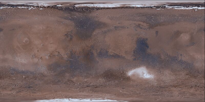
Mars Trek is a new release that significantly upgrades and builds upon the capabilities of its predecessor. The new Trek interface provides greatly improved navigation, 3D visualization, fly-overs, performance, and reliability. Use of the Trek interface also provides compatibility with the other portals developed by NASA’s Lunar and Planetary Mapping and Modeling Project.
Building on a heritage of supporting site selection and analysis for the Constellation program, Mars Trek has been developed to meet the needs of mission planners in a new era of martian exploration. The portal integrates a suite of interactive tools that incorporate observations from past and current martian missions, creating a comprehensive martian research Web portal. The online Web portal allows anyone with access to a computer to search through and view a vast number of martian images and other digital products.
Mars Trek provides easy-to-use tools for browsing, data layering and feature search, including detailed information on the source of each assembled data product. Using Mars Trek, many hundreds of martian data products can be visualized, stacked, blended, and downloaded. Detailed metadata for each data product is also made available to the user.
While emphasizing mission planning, Mars Trek also addresses the martian science community, the martian commercial community, education and public outreach (E/PO), and anyone else interested in accessing or utilizing martian data. Its analysis tools allow users to perform a wide range of analyses such as measuring distances, creating elevation plots, and conducting lighting and slope analysis. Users can also draw bounding boxes around any areas of interest to generate output files for 3D printing of desired surface features.
Mars Trek: Learn More


